Get to know your bushfire safer places and last resorts

Staff Reporters
20 October 2021, 4:34 PM
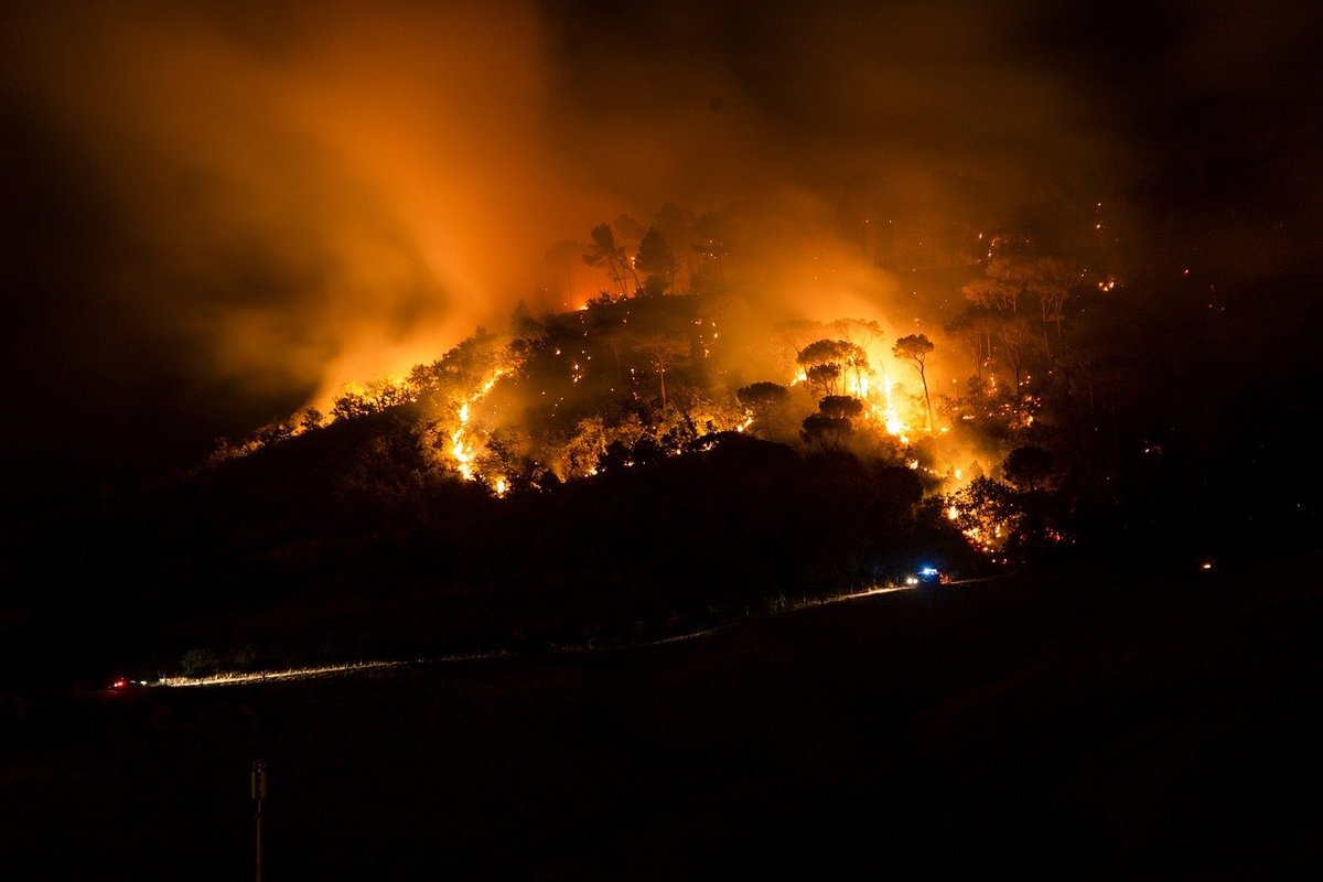 Image from pixabay
New statistics released by the SA Country Fire Service (CFS) show that 42 per cent of South Australians living in bushfire prone areas don’t know the meaning of their local Bushfire Safer Place or where to find it.
Many people also don’t know what a Bushfire Last Resort Refuge is.
With bushfire season approaching the CFS are asking South Australians to research and practice their bushfire survival plan before an emergency occurs. This includes knowing where you would go in the event of a fire.
A Bushfire Safer Place is an identified area that can provide relative safety and be used as a location for people who plan to leave early from high-risk locations on a bad fire day or during a bushfire. These areas can be seen on the the CFS online map on this page.
A Bushfire Last Resort Refuge is a space or building which could be used as a last resort to shelter from a bushfire when a designated Bushfire Safer Place cannot be reached, or if a person’s Bushfire Survival Plan has failed. However, they only provide a minimum level of protection and do not guarantee the survival of those who seek refuge there, nor will there be any respite facilities in such locations. It is also unlikely firefighting appliances will be in attendance at such Refuges.
Bushfire Last Resort Refuges on the Fleurieu include the Morgan Park Trotting Track near Victor Harbor, the Clayton Foreshore, the Cape Jervis Lighthouse Carpark, Carrickalinga Reserve, Mount Compass Oval, Myponga Oval, Rapid Bay Carpark, Langhorne Creek Oval, Meadows Oval and Kangarilla Community Hall.
On Kangaroo Island the Last Resort Refuges are the American River Wharf, Stokes Bay Beach, Wisanger Oval, Emu Bay Boat Ramp, and Parndana Oval,
Acting Director Preparedness Operations with the CFS, Joel Taggart said, “Despite the fact that we’ve had catastrophic bushfires in our state over recent years, it’s quite worrying to know that people don’t fully comprehend the concept of our established Bushfire Safer Places.”
“It’s critical that anyone who lives, works, or travels through an area where a bushfire can occur knows exactly where the safest place to seek shelter is, and that they have a plan.”
“Get online now and identify where your nearest Bushfire Safer Place is; plan how you will get there, who will be with you and what you’ll bring. In many cases this Bushfire Safer Place will be the metropolitan Adelaide area or a large rural town.
“Don’t wait until the last minute, do your five-minute bushfire plan now.”
Minister for Emergency Services Vincent Tarzia said the communication of accurate and reliable information about Bushfire Safer Places was part of the Government’s $97.5 million response to the Keelty Review.
“Some of the state's high bushfire risk zones are much closer to the CBD than many realise,” Minister Tarzia said.
“All South Australians should check if their property is within the defined areas of a Bushfire Safer Place as Adelaide’s suburban fringe teeters on potentially dangerous bushfire zones.
"Play your part, know the risk in your area, and have a Bushfire Survival Plan in place, it takes just five minutes to complete.
"Preparation, careful planning and the use of bushfire awareness tools like the Alert SA App will save your life during an emergency.”
Learn more about Bushfire Safer Places: https://www.cfs.sa.gov.au/prepare-for-a-fire/bushfire-safer-places/