Prescribed burn near Mount Compass tomorrow

Staff Reporters
03 April 2022, 3:26 AM
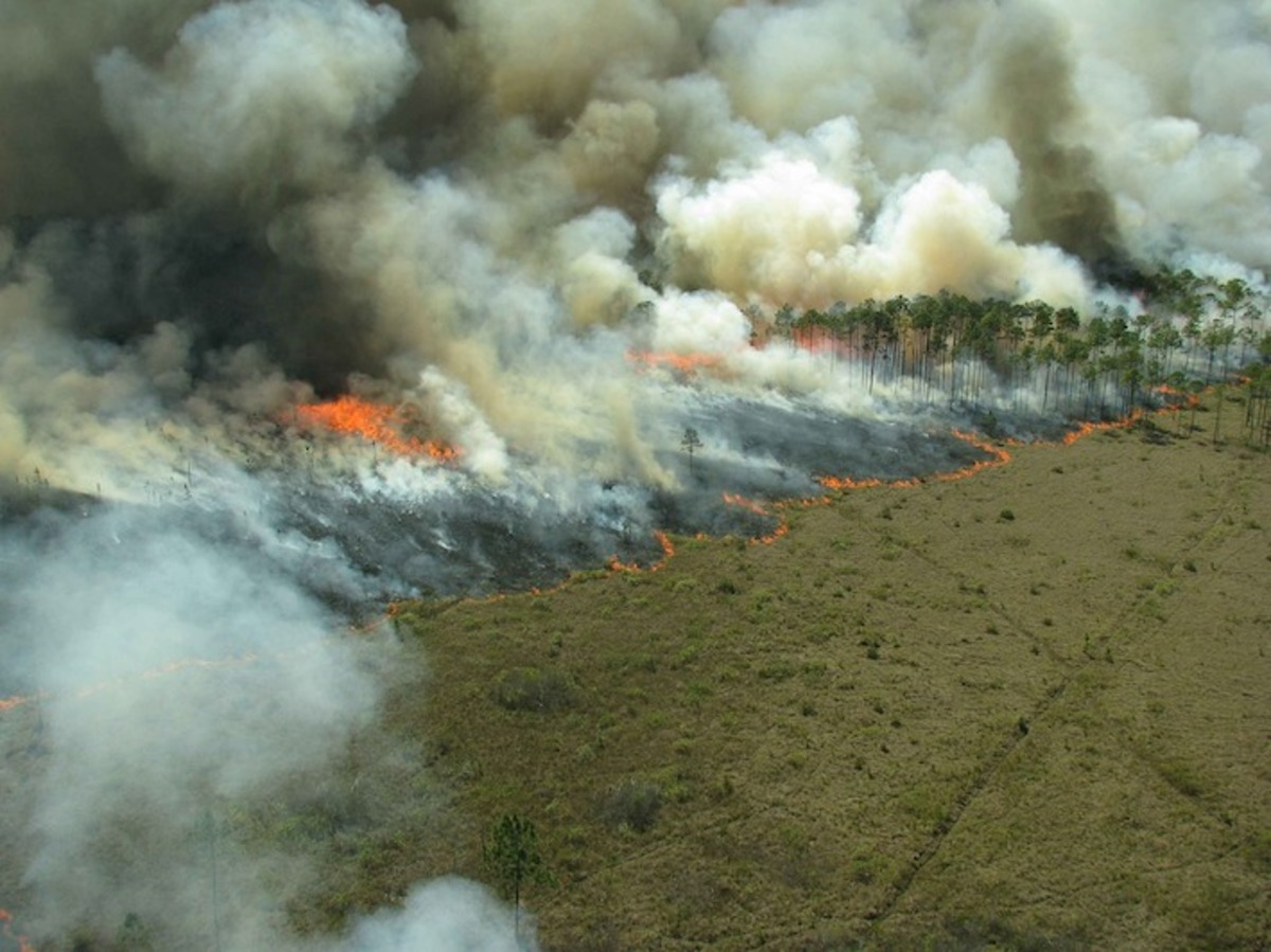
A prescribed burn is planned for Mount Magnificent Conservation Park, between Blackfellows Creek and Mount Magnificent Roads, approximately 7km north-east of Mount Compass in the Fleurieu district of the Mount Lofty Ranges, on Monday 4 April 2022, weather conditions permitting.
The burn will start at 9am and is expected to be complete by 5pm; it will affect about 27.8 hectares within the park.
The objective of the burn is to reduce fuel loads and the likelihood of the whole park and surrounding bushland burning in a single bushfire event.
The Heysen Trail in this area will be closed until the burn area is deemed safe for the public.
Blackfellows Creek Road and Mount Magnificent Road will likely have some moderate smoke impacts; some smoke and fire activity may be observed on the day and following the burn and will be patrolled until it is safe.
The burn will be carried out by the National Parks and Wildlife Service (NWPS) as part of the Mount Lofty Ranges Fire Co-operative prescribed burn program.
Local CFS Volunteers have been invited to attend and a crew will remain on site until it is safe to leave.
NPWS conducts a statewide program of prescribed burns to reduce the spread and intensity of bushfires, protect communities and enhance biodiversity.
Prescribed burning is just one tool used to reduce fuel loads across strategic areas of public and private land.
Prescribed burns will only be carried out when it is deemed safe to do so and may be cancelled at short notice if conditions change.
For the most up-to-date information on prescribed burns follow @SAENVIRWATER on Twitter. A list of planned prescribed burns is available on the Department of Environment and Water website.