Snapping the coastline for citizen science

Staff Reporters
21 November 2023, 1:53 AM
The City of Victor Harbor has installed two CoastSnap camera cradles to enable the community and visitors to get involved in coastal monitoring.
CoastSnap is a global citizen science project that tracks how the coastline changes over time due to factors such as storms and rising sea levels.
The two south coast camera cradles are located at the old Causeway viewing platform and near the Victor Harbor Yacht Club.
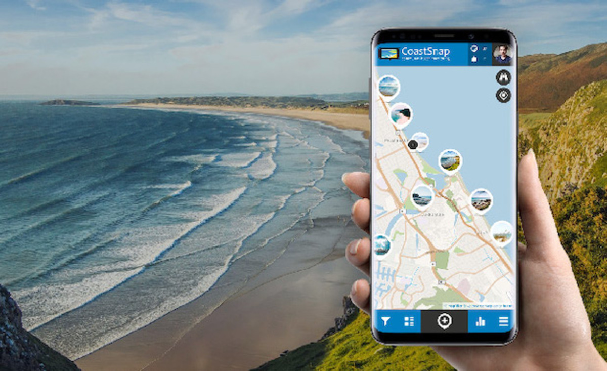
Anyone with a smartphone can use the cradles to shoot and upload an image, using the free Citizen Science App.
Repeated photos at the same location will be used to track how the coast changes over time, with a specialised technique known as photogrammetry turning them into valuable coastal data.
Coastal scientists will use the data to understand and forecast how coastlines might change in the coming decades.
The more photos of a particular site, the better they can understand the impact of changes over time.