Wet and windy night on the Fleurieu

Staff Reporters
04 June 2022, 10:32 PM
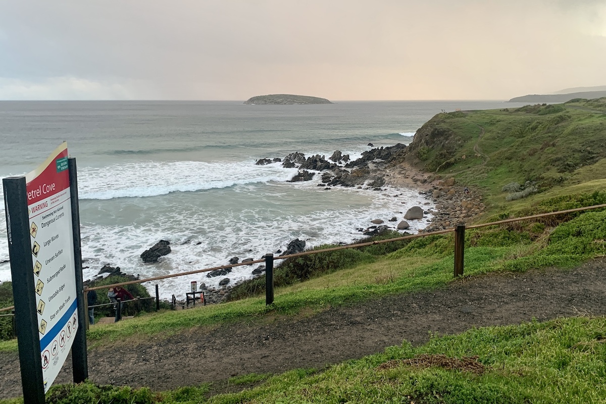 The bad weather rolling in at Petrel Cove yesterday
A wet and windy night has kept the volunteers of the Fleurieu emergency services busy.
A tree fell on a car at Carruthers Court in Strathalbyn and another blocked road around the intersection of Adelaide and Avenue Roads.
Trees also came down overnight in Kondoparinga Road in Meadows, Bushtail Avenue in Aldinga and Cleland Gully Road in Tooperang.
The Fleurieu and Hills had some of the biggest rainfalls in the state overnight, with Kuitpo getting 47mm since 9am yesterday.
Strathalbyn got 30mm and Noarlunga 24.6mm and an old fella with a rain gauge is confident Port Elliot also got 30mm.
We were also one of the windiest places in the state with Noarlunga copping a wind gust of 102km/h at 12.23am and Kuitpo getting a blast of 93km/h at 12.35am.
Hindmarsh Island is usually one of the windiest places on the Fleurieu but only recorded a top gust of 61km/h at 12.21am.
Sealink ferry services were cancelled yesterday due to the gales and rough seas but with the conditions abating all sailings will operate as normal this morning.
The Goolwa Wharf Market has been cancelled however. The next market will now be held on 19 June.
A severe weather warning is still current for parts of the Fleurieu Peninsula.
The warning was issued at 4.27am this morning and states:
Severe Weather Warning for DAMAGING WINDS For people in Mount Lofty Ranges, Lower South East and parts of Flinders, Mid North, Murraylands and Upper South East districts.
Damaging wind gusts over the eastern coastal areas, contracting to the mountain ranges during the morning
Strong northwest winds with DAMAGING WIND GUSTS in excess of 90 km/h about Mount Lofty Ranges and southern Flinders Ranges, tending westerly during the morning. These winds may continue into the evening and early Monday morning.
Strong northwest winds with DAMAGING WIND GUSTS up to 90 km/h about the eastern coastal districts, easing during the morning.
DAMAGING WIND GUSTS are also possible with showers and thunderstorms in the morning.
Locations which may be affected include Mount Gambier, Murray Bridge, Gawler, Victor Harbor, Meningie and Jamestown.
Severe weather is no longer occurring in the Adelaide Metropolitan, Lower Eyre Peninsula, Eastern Eyre Peninsula, Yorke Peninsula, Kangaroo Island and Riverland districts and the warning for these districts is CANCELLED.